Geospatial Technologies in Disaster Management: Mapping and Mitigating Risks
Abstract
A growing number of disaster management agencies are relying on geospatial technology like GPS, remote sensing, and GIS. When it comes to mapping, monitoring, and mitigating risks associated with natural disasters such as earthquakes, floods, hurricanes, and wildfires, these technologies are indispensable
Downloads
Published
2023-01-01
Issue
Section
Articles
How to Cite
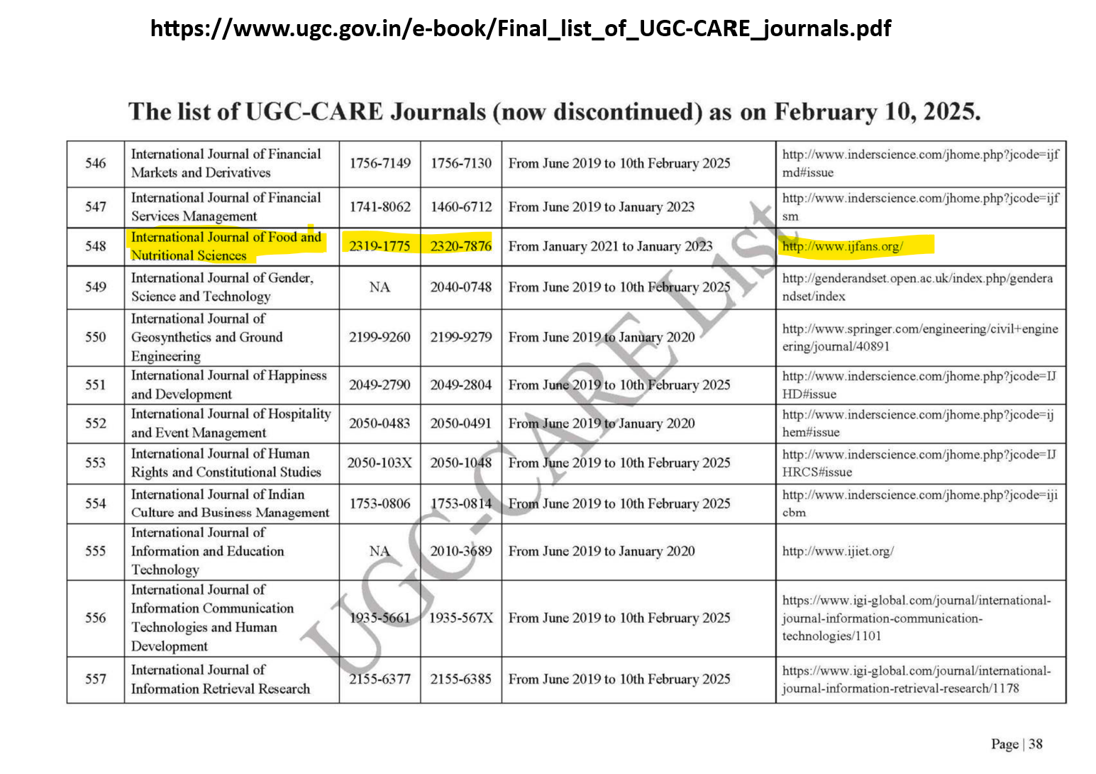
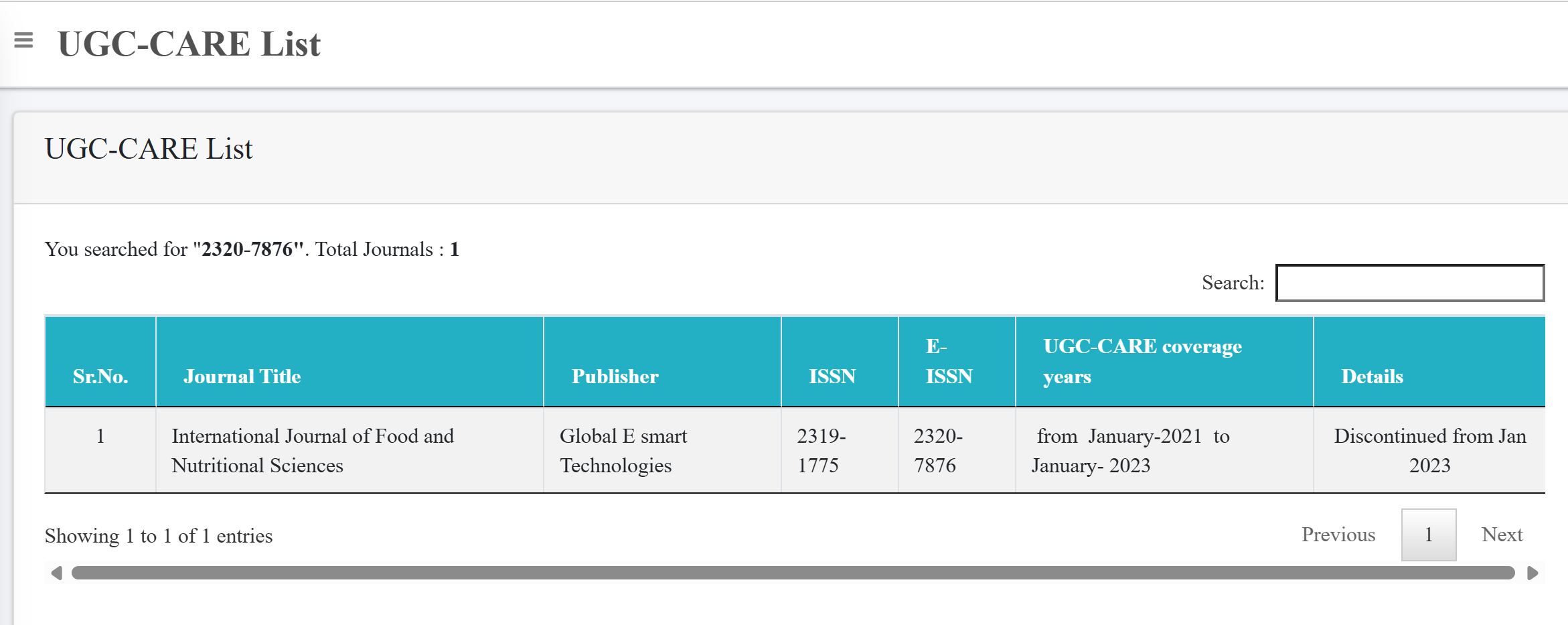
Geospatial Technologies in Disaster Management: Mapping and Mitigating Risks. (2023). International Journal of Food and Nutritional Sciences, 12(1), 7961-7967. https://ijfans.org/index.php/Journal/article/view/2614